Organic Maps is a free Android & iOS offline maps app for travelers, tourists, hikers, and cyclists. It uses crowd-sourced OpenStreetMap data and is developed with love by the community. No ads, no tracking, no data collection, no crapware.
This project aims at providing comfortable map viewing and navigation (routing) application for mobile devices. Particular stress lies with complete offline features (via pre-loaded offline map data) or economic internet usage.
Alpi Maps is a map application to help you prepare and enjoy your hike! Get all the info you need before you go, then enjoy all the data offline during your hike.
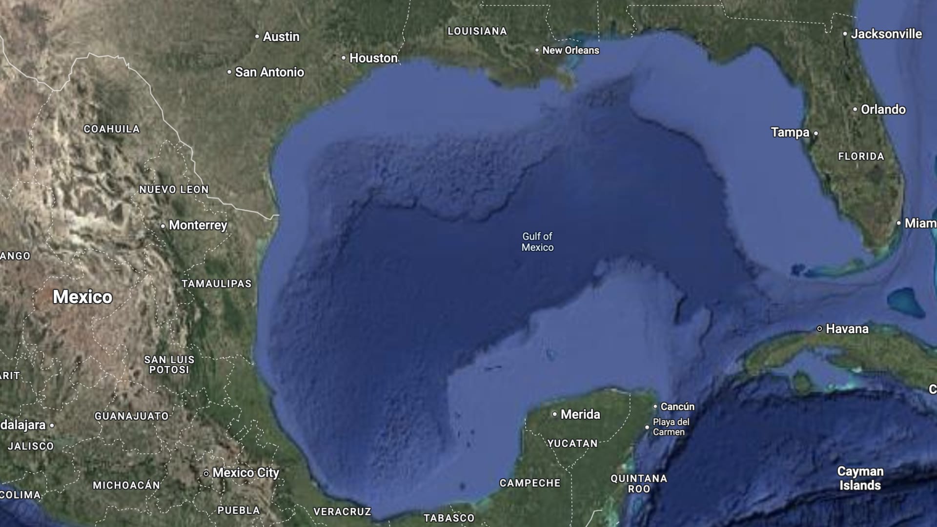
OpenStreetMap also needs to deal with this kind of thing. In this case, several people already tried to add it to the map in some form of other, but generally not as something to actually be shown. There is a looong discussion about it here https://community.openstreetmap.org/t/gulf-of-america-gulf-of-mexico/124571 . General opinion is that it is (or will be) “the official name that the US says it has”. In OSM you can invent tags for anything, so an object can have many names. Done like this, anyone using the data can still choose to give precedence to any “official US names that are not in common use yet”.
Later it may be upgraded ased on if it becomes a common alternative name, just in the US, or maybe beyond. All those options can have their own special tag. And only very motivated data users will ever show it to map users. But if you do a search for Gulf of America, you will be able to find it.


☞ https://www.openstreetmap.org
https://f-droid.org/packages/app.organicmaps/ or https://github.com/organicmaps/organicmaps
Organic Maps is a free Android & iOS offline maps app for travelers, tourists, hikers, and cyclists. It uses crowd-sourced OpenStreetMap data and is developed with love by the community. No ads, no tracking, no data collection, no crapware.https://f-droid.org/packages/net.osmand.plus/ or https://github.com/osmandapp/Osmand
This project aims at providing comfortable map viewing and navigation (routing) application for mobile devices. Particular stress lies with complete offline features (via pre-loaded offline map data) or economic internet usage.https://apt.izzysoft.de/fdroid/index/apk/akylas.alpi.maps or https://github.com/Akylas/alpimaps
Alpi Maps is a map application to help you prepare and enjoy your hike! Get all the info you need before you go, then enjoy all the data offline during your hike.deleted by creator
Ios: https://apps.apple.com/app/id1007331679 https://apps.apple.com/app/id934850257
Also fun fact the official apple maps app is mostly based on OSM.
people don’t degoogle to use apple instead
OpenStreetMap also needs to deal with this kind of thing. In this case, several people already tried to add it to the map in some form of other, but generally not as something to actually be shown. There is a looong discussion about it here https://community.openstreetmap.org/t/gulf-of-america-gulf-of-mexico/124571 . General opinion is that it is (or will be) “the official name that the US says it has”. In OSM you can invent tags for anything, so an object can have many names. Done like this, anyone using the data can still choose to give precedence to any “official US names that are not in common use yet”. Later it may be upgraded ased on if it becomes a common alternative name, just in the US, or maybe beyond. All those options can have their own special tag. And only very motivated data users will ever show it to map users. But if you do a search for Gulf of America, you will be able to find it.